TNS: Terrain Traversability Mapping and Navigation System for Autonomous Excavators
Tianrui Guan, Zhenpeng He, Ruitao Song, Dinesh Manocha, Liangjun Zhang
Published in Robotics: Science and Systems, 2022

Abstract
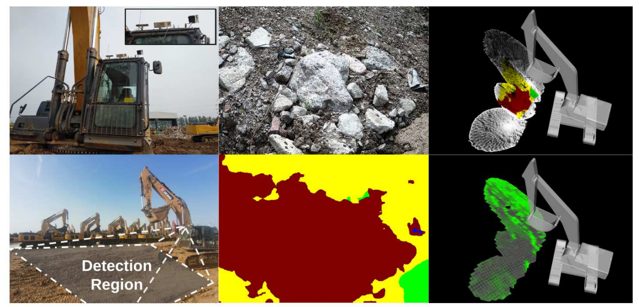
We present a terrain traversability mapping and navigation system (TNS) for autonomous excavator applications in an unstructured environment. We use an efficient approach to extract terrain features from RGB images and 3D point clouds and incorporate them into a global map for planning and navigation. Our system can adapt to changing environments and update the terrain information in real-time. Moreover, we present a novel dataset, the Complex Worksite Terrain (CWT) dataset, which consists of RGB images from construction sites with seven categories based on navigability. Our novel algorithms improve the mapping accuracy over previous SOTA methods by 4.17-30.48% and reduce MSE on the traversability map by 13.8-71.4%. We have combined our mapping approach with planning and control modules in an autonomous excavator navigation system and observe 49.3% improvement in the overall success rate. Based on TNS, we demonstrate the first autonomous excavator that can navigate through unstructured environments consisting of deep pits, steep hills, rock piles, and other complex terrain features.
| Paper | Dataset |
|---|---|
| TNS | CWT |
Video
Please cite our work if you found it useful,
@INPROCEEDINGS{Guan-RSS-22,
    AUTHOR    = {Tianrui Guan AND Zhenpeng He AND Ruitao Song AND Dinesh Manocha AND Liangjun Zhang},
    TITLE     = {TNS: Terrain Traversability Mapping and Navigation System for Autonomous Excavators},
    BOOKTITLE = {Proceedings of Robotics: Science and Systems},
    YEAR      = {2022},
    ADDRESS   = {New York City, NY, USA},
    MONTH     = {June},
    DOI       = {10.15607/RSS.2022.XVIII.049}
}
